Contemporary Cartography
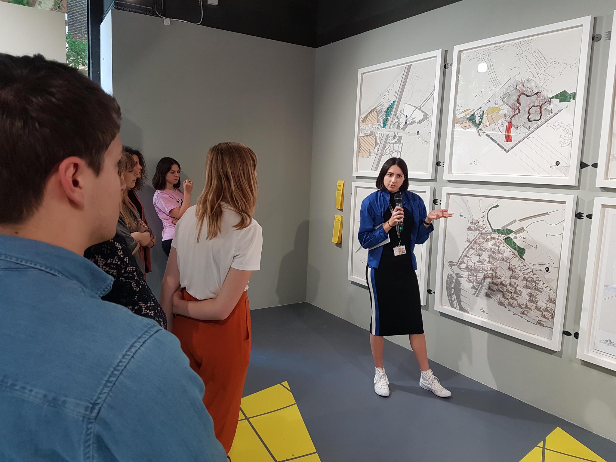
Contemporary Cartography was an exhibition and event series that examined how we navigate, document and shape the built environment today through the work of four practices; James Corner Field Operations, ScanLAB Projects, Studio MUTT and Smout Allen. The exhibition formed a core event of the 2019 London Festival of Architecture, and was curated to respond to its theme 'boundaries'.
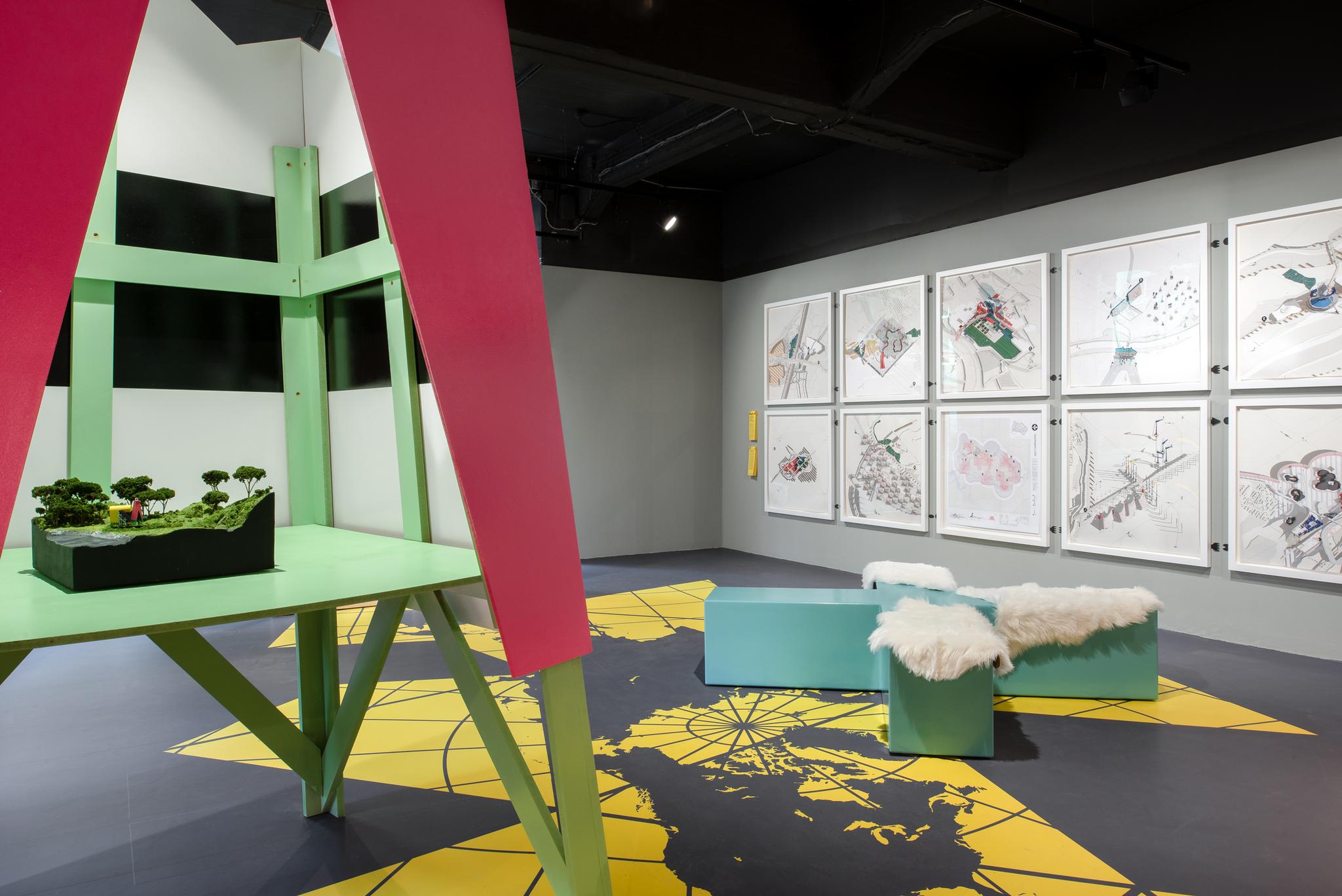
Photo by Francesco Russo.
Maps delineate space and can both conceive and compound geographical, cultural, political and social boundaries as a physical manifestation in the built environment. Often used as a drawing tool, maps can be conflated with plans – neutral forms of data representation that simplify the interrelation of time, space and experience in place making to a singular vision.
The exhibition explored how methods of measure and mapping can create new opportunities for understanding places and the social and environmental relations in them. They address the technologies and measuring tools of cartography, questioning their legacy and influence on our experiences of the landscape.
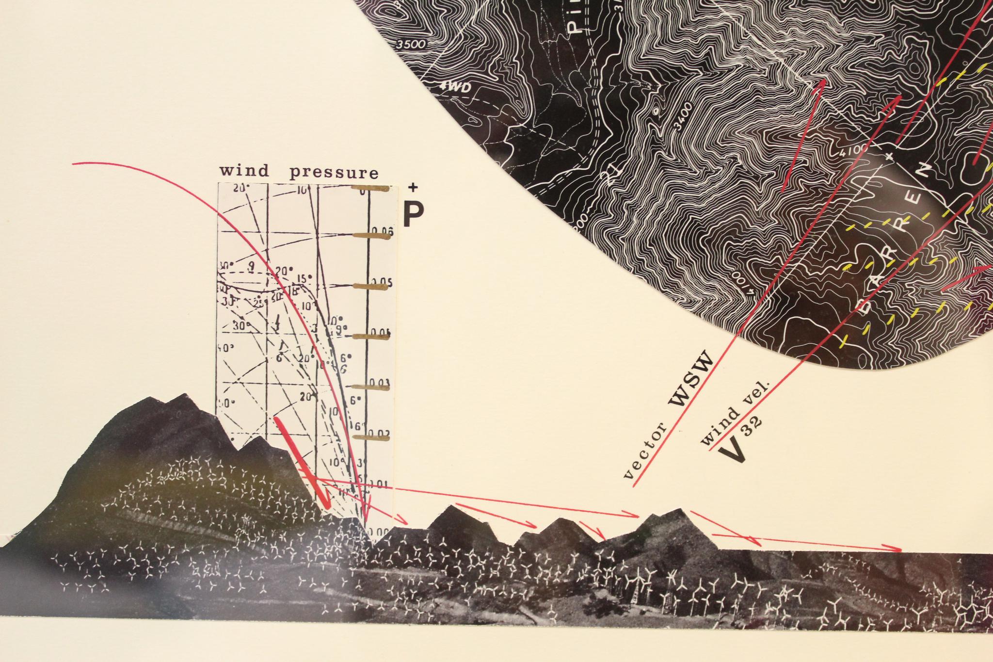
Projects were exhibited in a variety of mediums – ScanLAB Projects’ digital 3D scan ‘Dream Life of Driverless Cars’, Smout Allen’s ‘Liquid Kingdom’ drawings, Studio Mutt’s de/reconstructed ‘Ordnance Pavilion’, and James Corner’s original ‘Taking Measures Across the American Landscape’ map drawings and ‘Älvsjö Flatbed’, a lightbox on loan from the Harvard Graduate School of Design. Geoff Manaugh, author of BLDGBLOG, to write a thought piece to accompany Smout Allen’s ‘Liquid Kingdom’. This provided visitors with a secondary label and alternative reading of the project, adding an extra layer of interpretation that expanded the understanding of the work, which could be torn off the wall and taken away from the show.
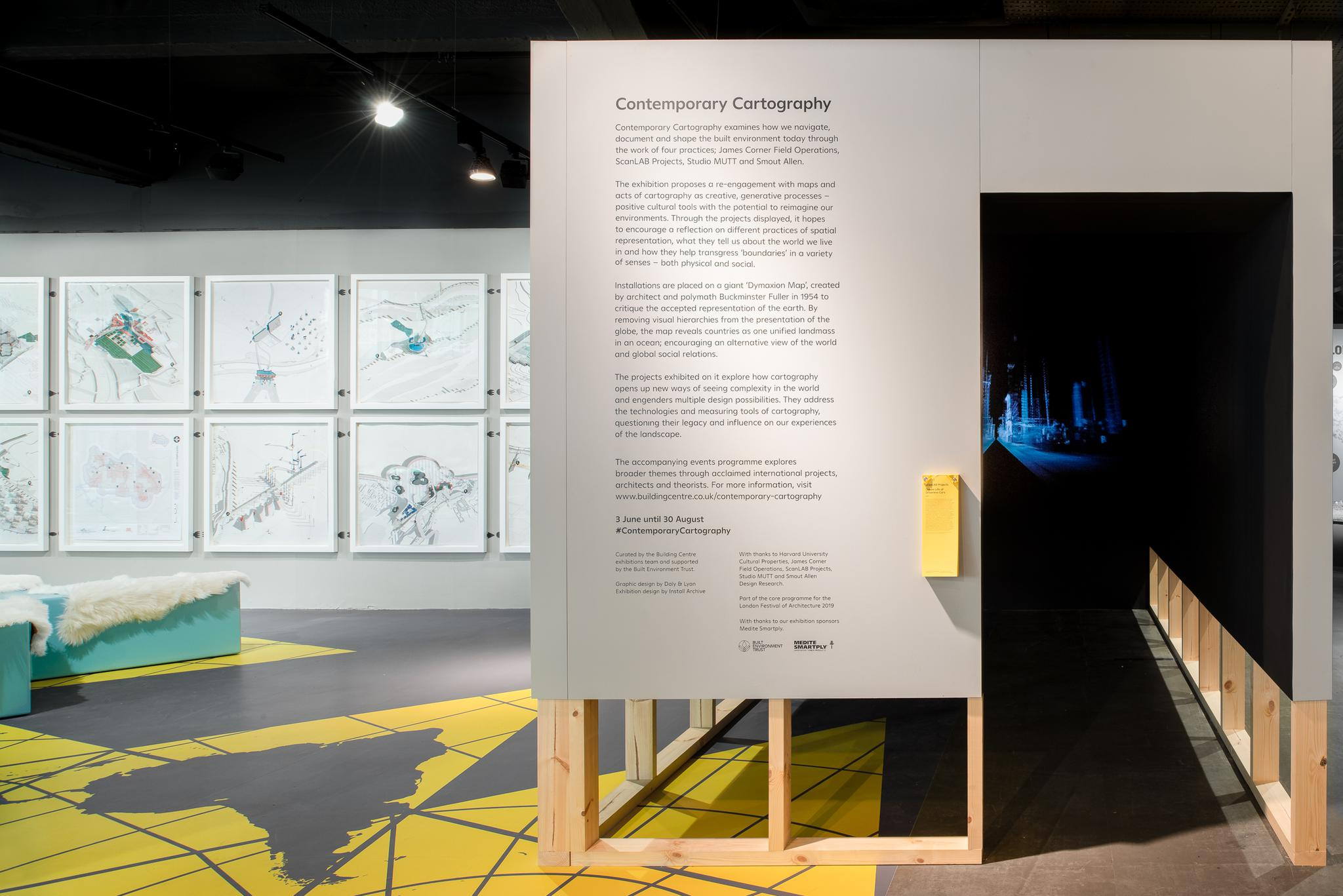
Installations were placed on a giant ‘Dymaxion Map’, created by architect and polymath Buckminster Fuller in 1954 to critique the accepted representation of the earth. By removing visual hierarchies from the presentation of the globe, the map reveals countries as one unified landmass in an ocean; encouraging an alternative view of the world and global social relations.
The accompanying events programme explored broader themes through acclaimed international projects, architects and theorists.
Videos by Chris Jackson.
Exhibition design by Install Archive.
Graphic Design by Daly & Lyon.
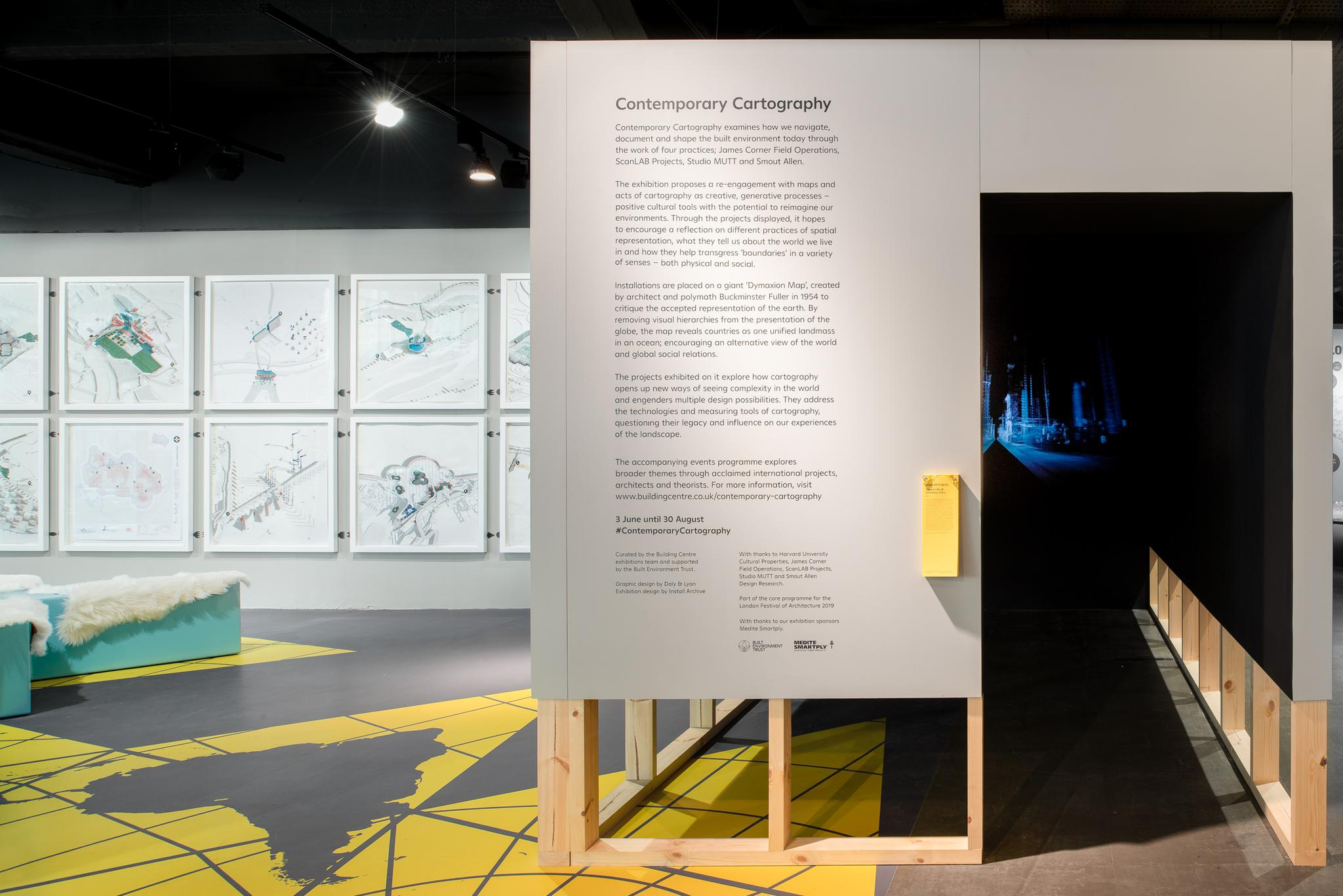
Photo by Francesco Russo.
